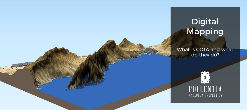
COTA Mapping Services SL. offers high quality updating of cadastral mapping services and Geographic Information Systems (GIS), both in public and private sectors. Our objective is to help citizens, private entities and public administrations to manage and communicate all the relevant information for the updating of cadastral mapping, in a fast, clear and efficient manner. Creating up to date, clearer and more precise maps, based on the client’s needs and making mapping realistically viable.
Working for a variety of important sectors relating to mapping and the management of resources pertaining to both private and public entities, one of our main priorities is to ensure that the information used to prepare our maps is accurate at the time of publication. This normally implies compiling and comparing data from multiple sources and at times deploying our team to carry out work in the field.
In addition to the traditional techniques used in digital mapping, we offer an ample catalogue of services in the sector, ranging from technical knowledge of Geographical Information Systems (GIS), to resource management support for local organizations and based on the Smart Cities model.
Our experience guarantees the execution of intricate projects and careful attention to detail in order to obtain results of the highest quality.
- Preparation and publishing of mapping for country properties and plots in GML format for the Property Registry, Public Notaries and Land Registry.
- Consultancy and studies of the property, coordination between the Land Registry, Notaries and Registries.
- Topographical surveying, reassessments
- Georeferencing of plots and all types of constructions
- Processing and monitoring of cadastral documents (segregations, divisions, groupings, current situations and correction of factual errors in the Land Registry).
Relating to both rustic and urban plots as well as to their existing constructions, since 2016 there exists a legal and compulsory agreement of correspondance between the existing data from the Land Registry, notary deeds and the registration documents from the Property Registry.
From the perspective of our extensive experience in cadastral resolution proceedings, cadastral reviews and undertaking and updating of cadastral mapping; we offer consulting services in the resolution of cadastral procedures, we measure and delimit with the utmost precision the boundaries of plots and constructions, we prepare all digital mapping in current formats and we process any type of procedure with the Regional Management of the Balearic Islands Land Registry.
If you wish more information about the services Cota S.L. can offer you, contact our real estate agency in Pollensa.